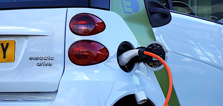
[Global Network Comprehensive Report] With the increase in the number of charging stations, the battery life of electric vehicles is no longer the biggest problem for drivers. Instead, there is no spare charging pile when charging is needed. According to US media reports on April 23, Google announced that starting this week, electric car users in the United States and the United Kingdom will be able to view the usage information of charging posts in real time on Google Maps.
Google said in a blog post: “When the owner drives the electric car to the charging station, he finds that all the charging piles are in use and need to wait in line for dozens of minutes or even hours. If the owner is in the body, this will It will be very annoying.” In order to solve this problem, Google Maps is now launching a new service that will show which charging pile is free depending on the region.
Users need to update Google Maps to the latest version to get this service. As the most user-friendly and most convenient map app, the new Google Maps will display information on Chargemaster, EVgo and SemaConnect available charging stations in real time, and will also include Chargepoint charging stations in the future. Google said that Google Maps will show the location of the charging station, the number of available charging stations, the port type and the charging speed. In addition, photos, ratings, reviews, and problems with the charging station will be provided.
According to data from Stastata, Germany, by the end of 2018, there were more than 20,000 charging stations in the United States, providing about 40,000 charging posts. According to data company Emu Analytics, the number of charging stations in the UK is currently 16,500.
Post time: Apr-29-2019

